MISSION EVEREST: THE EMISSION-FREE CONQUEST OF THE ROOF OF THE WORLD
The Chronicle of a Historic Aviation Expedition: From the Visionary Idea to a Scientific World Sensation.
For a long time, soaring over the summit of Mount Everest (8,848 m) in a pure, silent glider was considered physically and logistically impossible. In 2014, Klaus Ohlmann, together with the team from the Mountain Wave Project (MWP) and the German Aerospace Center (DLR), proved the skeptics wrong. This is the story of an expedition that pushed the boundaries of aviation.
I.THE IDEA (2010 – 2012): Making the Invisible Visible
The vision did not spark from a mere thirst for adventure, but from scientific curiosity. Study the atmospheric lee waves (gravity waves) over the world’s highest mountain ranges was one of Klaus Ohlmann’s goal.—having already cracked the 3,000-kilometer mark utilizing them in the Andes.
The core concept for the Himalaya project was two-fold:
1. The Aviation Pioneering Achievement:
To prove that the extreme updrafts of the atmospheric waves in the Himalayas could be used to fly emission-free over the highest peaks on Earth.
2. The Scientific Mission:
In cooperation with the DLR, an innovative, high-precision 3D special camera system (MACS) was to be installed inside the aircraft’s fuselage. The goal: To map Mount Everest and the surrounding Khumbu Valley with centimeter-level accuracy to document glacier melting and provide precise data for earthquake research.
II. PREPARATION & LOGISTICS (2012 – 2013): Fighting the Bureaucracy
The biggest hurdle wasn’t the fluid dynamics of the atmosphere, but the logistics. Two state-of-the-art glider equipped with a Turbo charged ROTAX engine—the *Stemme S10-VT*—had to be brought into one of the most politically and bureaucratically restricted airspace regions in the world.
The Modification:
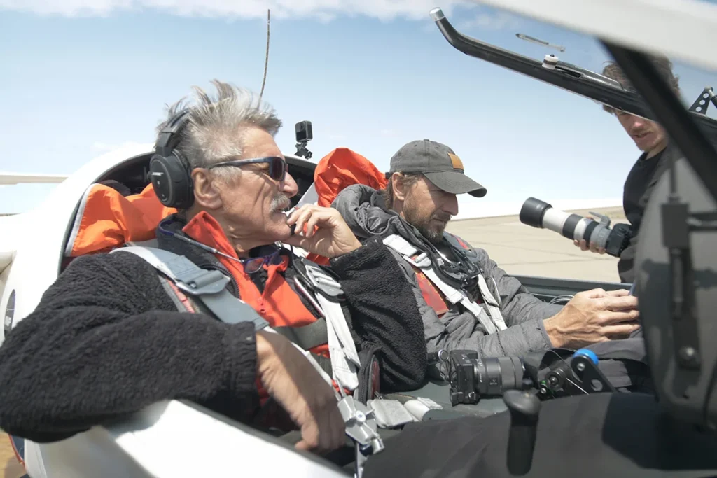
The Stemme was fitted with a custom optical glass-bottom hatch to accommodate the DLR camera. Furthermore, the oxygen systems for the crew had to be heavily modified to sustain life in the extreme altitudes of the “death zone” (above 9,000 meters).
The Permits:
Years of tedious negotiations were conducted with Nepalese authorities, the military, and aviation ministries. The entry and aerial photography permits for the Everest airspace were one of the most difficult task of the mission.
The Transfer:
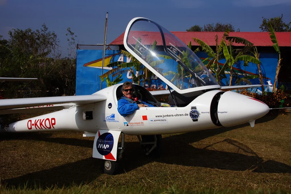
The two Stemme S10-VT were flown over nine thousand kilometers to Nepal. The airport in Pokhara served as the base of operations—strategically located, in immediate proximity to the Annapurna area.
III. THE EXPEDITION ON SITE (January – February 2014): Waiting for the Perfect Wave
In early 2014, the team set up their base camp in Nepal. The conditions were brutal. The jet streams at these altitudes easily reach speeds exceeding 200 km/h. The team constantly battled freezing temperatures on the ground and inside the unheated cockpit, alongside extreme turbulence.
For weeks, test flights were carried out to calibrate the DLR camera systems under extreme conditions and to study the local wind patterns. The goal was to pinpoint the exact day when the wind would be strong enough to trigger the giant lee waves behind the peaks, but not so destructive that it would jeopardize the aircraft’s structural integrity.
IV. THE FULFILLMENT of my dream(February 1, 2014): The Historic Summit Flight
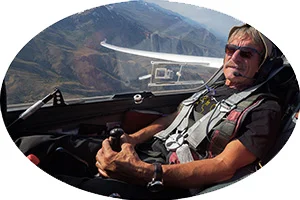
On February 1, 2014, the last day of the mission, every single parameter aligned perfectly. Weak winds on the Everest, just strong enough to allow smooth ridge soaring along the highest mountain of earth. Klaus Ohlmann was alone when he climbed as the first glider pilot above M. Everest.
The Climb:
Borne by the immense updrafts of the Himalayas, the Stemme S10-VT climbed higher and higher. During the critical phases of the ascent, the engine was completely retracted—the raw power of nature alone catapulted the aircraft upward.
Over the Summit:
With absolute precision, Klaus Ohlmann steered the aircraft directly over the peak of Mount Everest at an altitude of over 9,000 meters. Below them lay the highest point on Earth, while inside the cockpit, oxygen masks kept the crew alive.
The Scientific Harvest:
During measurement flights the DLR’s MACS camera operated flawlessly. The system captured razor-sharp, high-resolution imagery, making structures as small as a coffee cup visible on the Everest summit.
V. THE LEGACY: A Milestone in Aviation History
Upon their safe landing back in Pokhara, it was clear: the Mountain Wave Project had made history. The expedition delivered the very first seamless, three-dimensional digital surface model of Mount Everest at an unprecedented resolution of under 20 centimeters.
To this day, these datasets help scientists understand glacier dynamics and better predict avalanche or earthquake hazards in the Himalaya region. For the aviation world, it was the ultimate proof that pioneering spirit, cutting-edge technology, and the untamed energy of the atmosphere are more than enough to silently conquer the top of the world.